Aerial Images

Aerial Images
Products obtained through the integration of multispectral and hyperspectral images captured by drones and satellites.
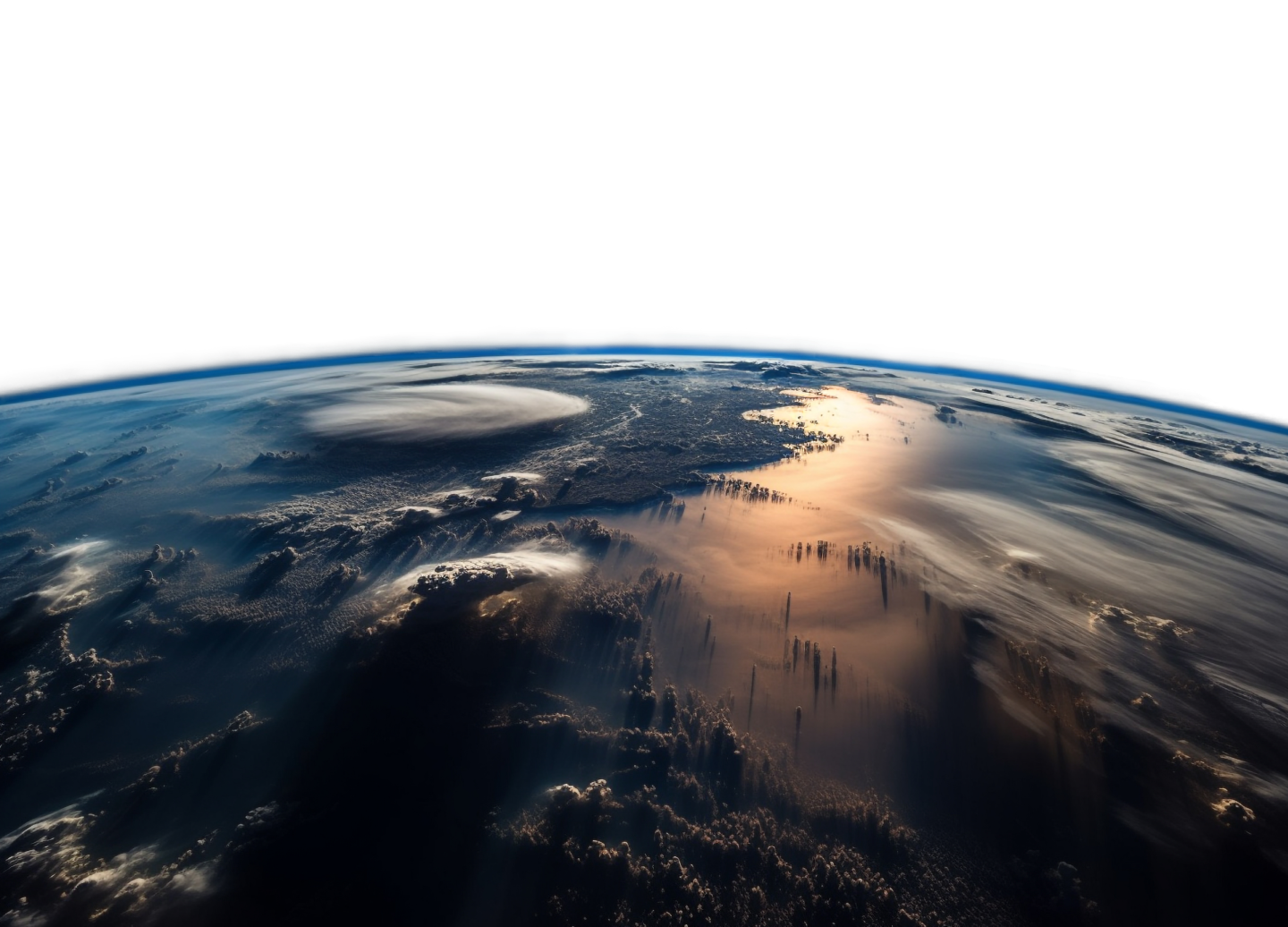
Aerial and orbital images allow us to see complex realities from new perspectives.
With the ability to see up to 3 cm in an image, cameras onboard unmanned platforms enable the development of innovative solutions with the level of detail and precision required for specific demands.
Satellite images ensure the spatial and temporal scalability of solutions through imaging of the entire planet Earth, whether for historical events or future trends obtained through statistical analyses.
Explore more possibilities


